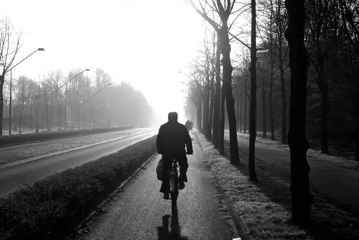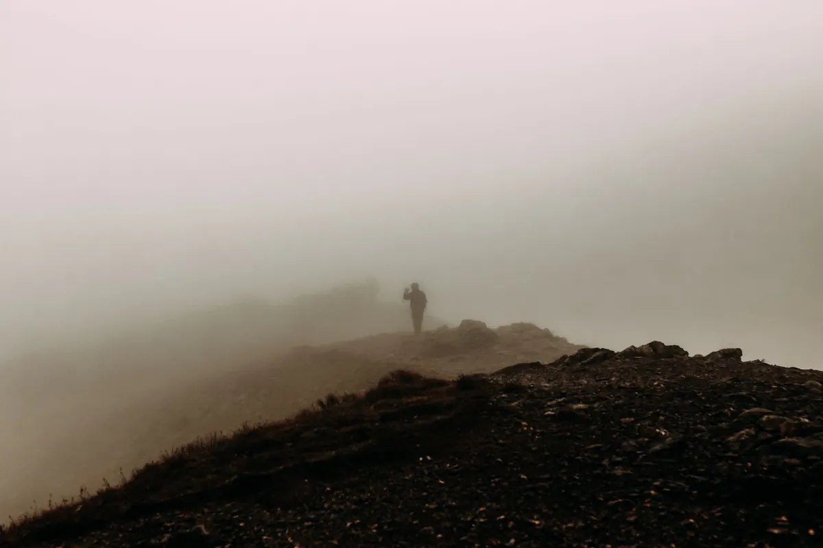
Fog on a British hill rarely arrives like a wall of white. More often the cloud base drops quietly while you are eating a sandwich on a summit, the far ridge turns grey, and then the path thirty metres ahead of you goes too. Half an hour later you are standing on a featureless plateau in the Cheviots or above Buttermere with no view, a damp map and a decision to make. The reassuring truth is that fog is mostly a navigation and comfort problem rather than a crisis — provided you deal with it early, before it deals with you.
Mountain cloud is wet. It soaks your jacket, softens the ground underfoot and drops the temperature a few degrees below what the valley forecast promised. Add a bit of wind and the chill factor bites. Visibility can fall to a handful of metres, which means the things that normally keep you safe — the path, the wall, the edge of the crag — simply stop existing until you are almost on top of them.
That last point matters. On a clear day you can see a bog, a steep drop or a broken fence and route around it. In fog you cannot, so your map, compass and timing have to do the seeing for you.
Everything takes longer in poor visibility. You walk more slowly, you stop more often to check the map, and you take the cautious line instead of the quick one. So leave earlier than you would on a clear day, and be honest about the shorter daylight hours between October and March.
Check the mountain weather forecast before you go — the Met Office mountain forecasts and MWIS both give a cloud base and a visibility picture that a general town forecast will not. A cloud base of 600 metres tells you something useful about a 900-metre summit.
Then set a turn-around time, not just a turn-around point. If you have not reached the col by two o'clock, or the bothy by three, you turn back regardless of how close it feels. The hill will still be there next month.
This is the part that keeps people out of trouble. A phone is useful, but cold drains batteries and screens get wet, so treat it as a back-up rather than the plan. Carry a paper map in a case and a compass on a cord, and know how to use them together.
Re-check your position at every feature you meet, even when you are confident. Small errors in fog become large ones quickly, and correcting a 50-metre mistake is far easier than correcting a kilometre.
Dress for damp and wind rather than for rain alone. A waterproof jacket is not enough on its own — waterproof trousers turn a miserable descent into a manageable one. Wear layers you can shed and add, and keep the spare ones dry.
If you wear glasses, fog is a genuine problem. A microfibre cloth in a pocket helps, and some walkers find contacts easier on damp days. If you have a heart or lung condition, cold, wet air makes climbing harder work than usual — worth a word with your GP about what is sensible for you.
In fog, groups stretch out. The fast walkers drift ahead, the slower ones lose sight of them, and the person at the back ends up alone with no idea which way the path went. Nominate a tail walker and do a headcount at every stop, not just at the car park.
Keep everyone within a few metres — close enough to talk without shouting. Agree who is navigating before you set off, and remember the distress signal: six blasts on a whistle, pause, then repeat. If someone needs to stop, everyone stops.
The single best decision in fog is to stop before you are properly lost. If you are unsure of your position, resist the urge to keep walking downhill in the hope of hitting a path — that is how people end up at the top of a crag or deep in a bog.
Stop, shelter, eat, drink, and put on every dry layer you have. Work out where you are from your last certain point. If that fails, stay put and call 999, ask for the police, then ask for mountain rescue. Give your grid reference if you have it, or a what3words location, which many teams now use. If the signal is patchy, a text message sometimes gets through when a call will not — and moving a short distance uphill can be enough to find a bar.
The pattern is not complicated. Notice the cloud early, put your shell on before you are wet, slow down, navigate deliberately rather than hopefully, keep the group tight, and turn around while you still have daylight and energy in reserve.
Fog does not make a hill dangerous by itself. It removes information, and your job is to replace that information with a bearing, a pace count, a wall to follow and a turn-around time you actually keep to. Do that, and a foggy day stops being something to endure. It becomes quiet, close and strangely memorable — then you get home, dry the map, and plan the next one.
Photo: Rachel Claire / Pexels