Fog feels like the most random weather Britain produces. One morning the street disappears and the traffic reports are nothing but delays; the next, the same street is crisp and clear. Spread that over twelve months, though, and a shape appears. Fog keeps a rough calendar here, and once you know it you can read a forecast at a glance and plan your day around it.
Fog needs two things above all: moisture near the ground, and air that cools until it can no longer hold that moisture. In autumn and winter the cooling comes from long, clear, calm nights. The ground radiates its heat away, the air just above it chills, and water vapour condenses into droplets. That is radiation fog, the classic inland and valley fog of October and November.
In spring and early summer the cooling comes from the sea instead. Warm air drifts off the continent and crosses a North Sea that is still cold from winter, so it chills from below. That is advection fog, and it explains why the east coast can sit under grey murk while twenty miles inland is bright and warm.
Mist and fog are the same thing at different strengths. Fog is technically visibility below 1,000 metres; mist is the lighter version, where you can still pick out a kilometre or two. Both are made of tiny water droplets, not smoke, although smoke and traffic particles give those droplets something to form around, which is why fog sometimes gathers faster over towns and busy roads.
From September the nights lengthen and the ground starts shedding heat quickly after sunset. October and November are the classic months for radiation fog: damp ground after a spell of rain, a clear night, and just enough breeze to stir the air without mixing it away. By dawn the fields and hollows are white.
Valleys in Wales, the Pennines and the Scottish glens hold fog longest, because cold air drains downhill like water and pools in the lowest ground. River valleys, low-lying suburbs and anywhere with a dip in the road get the worst of it. November can be especially foggy, partly because bonfire and firework smoke adds particles for droplets to cling to. Overnight fog often lifts by mid-morning, but in November the sun is weak and some patches hang on all day.
December to February brings the longest nights and the coldest air, and with them the densest, most stubborn fog. High pressure parked over the country means almost no wind, clear skies and a trapped layer of cold air near the ground. Fog can settle in for several days at a time, a pattern often called anticyclonic gloom, and the low winter sun struggles to burn it off.
If you live with a lung or heart condition, it is worth checking the air quality forecast alongside the fog forecast on still winter days and following the advice you have already been given by your GP or pharmacist.
From March the land warms quickly in spring sunshine while the sea stays cold. Onshore winds push mild, moist air across that cold water and the fog forms just above the surface, then drifts inland on the sea breeze. It has local names: haar along the east coast of Scotland and north-east England, fret in Yorkshire, Lincolnshire and East Anglia. It can arrive on a sunny afternoon and sit there, cool and grey, while inland towns bask.
Inland, spring fog is usually a morning affair. April showers leave the ground wet, a clear night follows, and dawn mist forms in fields and valleys. It is often thin and short-lived, gone by nine or ten.
June to August brings short nights and warm ground, so radiation fog is rare inland and mostly limited to damp river valleys just before sunrise. The coast is the exception. Sea fret is at its most persistent in June and July, when the North Sea is at its coldest relative to the land, and it can keep an east coast town grey for days while everywhere else enjoys a heatwave. Heavy evening rain from a thunderstorm can also leave the ground soaked enough for mist the next morning, but the strong summer sun clears it quickly.
The forecast is only useful if it changes what you do, so keep a few habits ready. The night before a journey, ask yourself whether the three ingredients are in place: a recent wet spell, clear skies and light winds. If they are, expect fog in valleys and low ground, even if your own street looks clear.
When a forecast mentions "fog patches", think valleys, low fields and the dip in the road on your usual route, not blanket coverage everywhere.
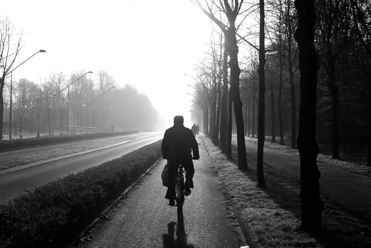
On the road, use dipped headlights, and fog lights only while visibility is seriously reduced — the Highway Code suggests turning them off once you can see clearly again. Slow down, leave a much larger gap than usual, keep the windscreen demister on, and avoid following tail lights closely, as they can pull you in too near the vehicle ahead. Cyclists and pedestrians should wear something reflective and use lights, since drivers will be looking for shapes rather than detail.
Foggy, still days are poor drying days at home, so ventilate briefly rather than leaving windows open, and expect condensation on cold glass. If you are travelling by air or ferry, remember that coastal fog usually clears later in the morning, so an afternoon crossing or flight is often the safer bet.
Treat the calendar as a guide rather than a rule. A mild, damp November can pass almost fog-free, and a cold snap in May can deliver a morning that feels like January. But if you know that autumn belongs to the valleys and spring belongs to the coast, you will rarely be caught out by the grey.
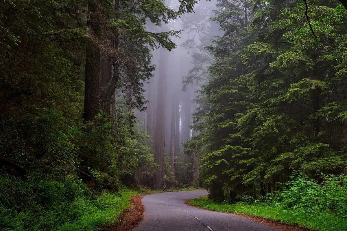
Photo: 강춘성 / Pixabay