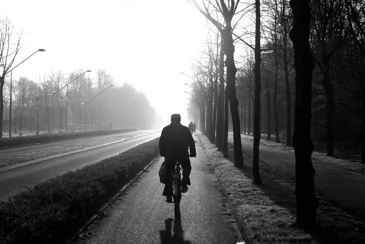
Fog is stubborn. It forms quietly overnight, sits in river valleys while the hills above are sharp and clear, and can turn a ten-minute drive into a slow crawl. Reading a fog forecast isn't about hunting for one magic number. It's about seeing how three things fit together — temperature, dew point and wind — and then checking them against the visibility charts and warnings published for the UK. Learn the conventions once and you can look at tonight's forecast and judge, within reason, whether the mist outside will thicken or lift.
Before any chart makes sense, get the vocabulary straight. In UK forecasting, fog means visibility below 1,000 metres. Mist sits between 1,000 metres and roughly 10 kilometres. Once visibility drops below about 200 metres, forecasters start talking about dense fog, and below 50 metres you're into the territory that grounds flights and triggers warnings. Freezing fog is fog forming when the temperature is at or below 0°C, which can leave a thin layer of ice on untreated surfaces. Haze is a different animal: drier air, reduced visibility, but the humidity isn't high enough for fog to form.
Visibility charts shade areas according to forecast visibility, usually in bands such as under 200 metres, 200 to 1,000 metres, and 1 to 5 kilometres. What you're looking at is a risk map, not a photograph of tomorrow morning. Fog forms in patches, so a chart covering an area the size of a county will always be approximate at street level. One valley can be under 100 metres of visibility while a village two miles away is merely hazy.
Aerodrome reports (METARs) are issued every half hour or hour and describe what is actually happening right now. A typical one looks like this:
EGPH 120620Z 24002KT 0500 FG VV001
Read it left to right: station, date and time in UTC, wind direction and speed in knots (240° at 2 knots), visibility in metres (500), present weather (fog), and vertical visibility in hundreds of feet (100 feet). When the sky is obscured by fog, that vertical visibility figure is how far up you can see into the murk. Here are the codes worth knowing:
Forecast versions of the same report (TAFs) use identical codes, plus markers such as TEMPO for temporary fluctuations and PROB30 for a 30 per cent chance. If your nearest airport is forecasting FG for the morning, the surrounding area will almost certainly see mist at the very least.
Air can only hold so much water vapour. As it cools, it eventually reaches the temperature at which it can hold no more — the dew point. Cool it further and the vapour condenses into droplets. That's fog.
The practical measure is the gap between the forecast temperature and the dew point, often called the spread. A spread of one or two degrees overnight, combined with clear skies and light winds, is a strong hint that fog will form. A spread of five or more degrees usually means it won't, coastal areas aside. Two details are easy to miss. First, towns hold their heat and can stay a degree or two warmer than the fields around them, which is why fog often appears at the edge of a town first. Second, cold air drains downhill, so valley bottoms, hollows and riverside meadows cool fastest and keep their fog longest after sunrise.
Wind decides which kind of fog you get, if any. On a calm, clear night the ground radiates heat away, cooling the air immediately above it. That's radiation fog, the classic autumn and winter fog, and it needs very little wind — under about 5 mph, though a light breeze of 5 to 10 mph can actually spread it and make it thicker across a wider area. Stronger winds, roughly above 10 to 15 mph, mix warmer air downwards and tend to scatter fog or lift it into low cloud.
Advection fog is the opposite case: it needs wind. It forms when mild, moist air drifts over a cold surface — the North Sea in late spring, a snow-covered field, or cold ground after a sharp frost. That's the sea fog or haar that hugs east coasts for days at a time. It also explains why a coastal forecast can promise fog on a day when inland areas are sunny, and why fog that lifts into low cloud often returns at dusk as the temperature falls again.
The Met Office issues fog warnings through its National Severe Weather Warning Service, colour-coded yellow, amber and red. Yellow means be aware; amber means an increased likelihood of disruption and you should plan around it; red means a significant risk and you should act on the advice given. Warning text usually specifies where, when and how dense, with phrases such as "dense fog patches with visibility below 100 metres".
Warnings are about impact, not mere existence. A misty field on a November morning without a warning isn't a forecasting failure — it simply isn't expected to disrupt anything. If you want detail rather than a headline, the METARs and TAFs from airports near you give a much finer picture of timings.
Fog usually forms in the coldest hours before dawn and lifts after sunrise as the sun warms the ground — though "lifting" can mean turning into low cloud that lingers all day. Allow extra time for journeys, keep a bigger gap than usual, and use dipped headlights whenever visibility is seriously reduced. The Highway Code requires headlights when you cannot see more than about 100 metres, and fog lights must be switched off once visibility improves.
Treat any visibility chart as a probability, not a promise: the general picture is reliable, the exact edge of a fog patch is not. Plan for the risk rather than the line on the map, and if you're flying or catching a ferry, check with the operator before you set off.
Photo: winterseitler / Pixabay